ADS3: Refuse Trespassing Our Bodies — Fertility, Exhaustion and All that Matter/s

Georgia May Jaeckle

Georgia May Jaeckle is a second-year Master of Architecture student at the Royal College of Art and recipient of the Burberry Design Scholarship. Having graduated from The Bartlett, University College London, with First-Class Honors in BSc Architecture, she developed her professional and personal spatial practice whilst working as a Part I Architectural Assistant for design studio Liddicoat & Goldhill. This provided the opportunity to gain a wider understanding of detailed, practical construction practice across all RIBA phases, and to take a critical role on a number of projects including lead designer for the Interpretation Space of the Turner Prize 2019.

Her first year project with ADS7 Transboundary Geo-logics: Politics of the Atmosphere, addressed the climatic disparity between the cluttered and extractive reports of Jesup North Pacific ethnographic expedition of 1897, and the contemporary landscape condition. Between thawed, leached, fresh and salty waters, on the banks of the upper Kolyma river, Siberia, proposing three durational, alchemical landscape interventions revealing landscape as archive and pedagogy.

She received a distinction for her dissertation, ‘Adobe is Political’ Embodied Architecture(s), Cultural Capital & Radical Proximity in Presidio County & la Junta de los Rios, which explored the dynamics of cultural capital and post-industrial economies of culture within Marfa, Texas. Argued to provide a muddied exemplification of extractive, asset based urban development strategies, in which the inherently democratic medium of earth itself has been recast as a fetishised financial resource, fostering inequality, displacement and the dissolution of heritage earthen craft methodologies within the Texas-Mexico borderlands region.

Her final design thesis project Erosion in the Gamma Grass Range, developed with ADS3 seeks to weave a counter narrative of resistance and futurity, following the scarification and removal of 1.4 million tons of uranium mine and yellowcake mill wastes by the Nuclear Regulatory Commission and U.S. Environmental Protection Agency, at Church Rock, New Mexico. Creating a common knowledge forum in which the archival reclamation, future rematriation and collective continuance of this landscape might be collaboratively imagined.
Show Location: Kensington campus: Darwin Building, Upper ground floor

Georgia May Jaeckle-statement

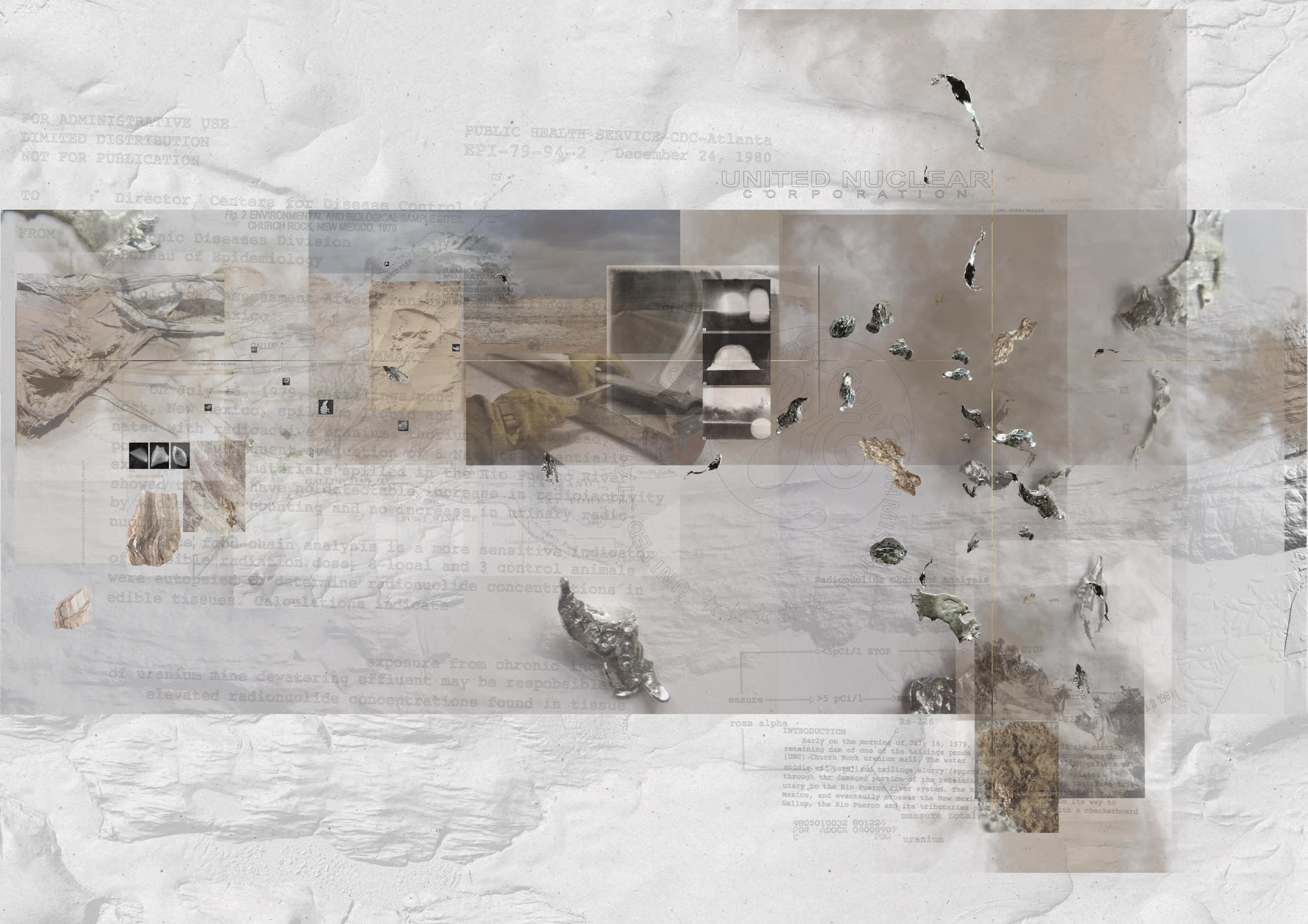
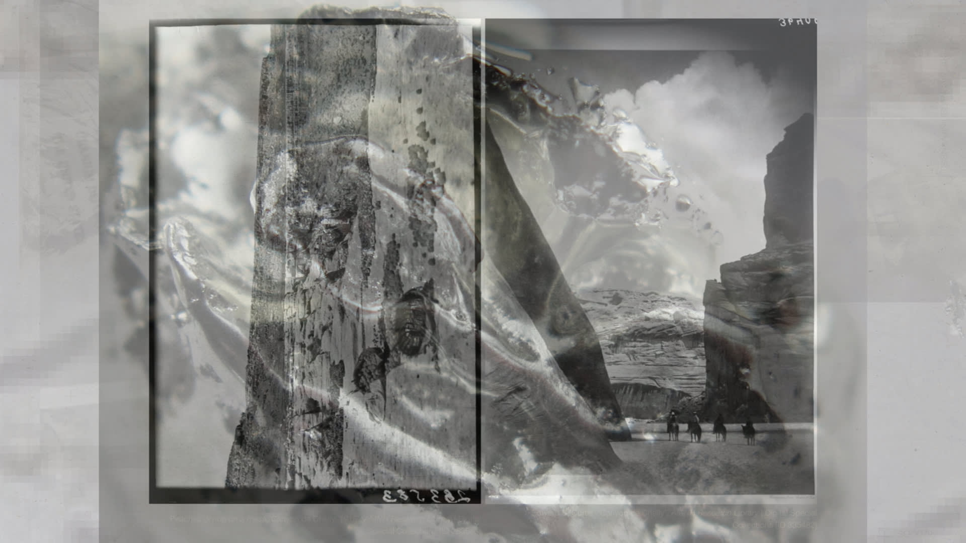
On July 16 1979, the western Río Puerco witnessed the leaching of 1,100 tons of radioactive waste from the tailings dam failure of the United Nuclear Corporation yellowcake mill at Church Rock, New Mexico. Churning acidic, radiant, decaying silt through networks of arroyos, estimated to seep as deep as 30 feet into the soil. A lapse in the national historical register and collective memory, the spill remains the largest release of nuclear material in U.S history, perpetuating injustice, and the undermining of landscape and water sovereignty within the Red Water Pond Road Diné community.

From 1942 to the late 1980s, more than 1000 uranium mines were established by leases within Diné Bikéyah, or Navajo (Diné) territory. Extracted initially for the classified Manhattan Project during the Cold War nuclear armament race, mutating to service the U.S. Atomic Energy Program, dubbed ‘a modern Klondike,’ engendering a ‘yellowcake’ boom from the early 1950s onwards. Erosion in the Gamma Grass Range traces the spatial, legislative and narrative constructs that frame and land extractive industrialism within the Grants Uranium District of the Checkerboard Region, McKinley County, New Mexico. A dissolved boundary, producing a ‘fiction of resolution,’ in which gridded enclosures homogenise landscape following federal aims of cultivation, productivity, property and landscape extraction. A practice of ‘planted’ bounding becomes directly fractured into land surface, ecology and soil.

The project seeks to weave a counter narrative of resistance and futurity, following the scarification and removal of 1.4 million tons of mill and mine wastes by the Nuclear Regulatory Commission and U.S. Environmental Protection Agency at the UNC Northeast Church Rock (Kinłitsosinil) mine, only now in 2022 under licence review. Creating a common knowledge forum in which the archival reclamation, future rematriation and collective continuance of this landscape might be collaboratively imagined, unstitched and articulated. Provocations cultivating ecological succession, natural proxies as archive and object of dispute, moments of harvest and storage, regrowth and resistance are constructed to world possible futures upon scarified and saturated grounds.

Erosion in the Gamma Grass Range

Medium:

Film

Size:

00:10:00
The Petrified River
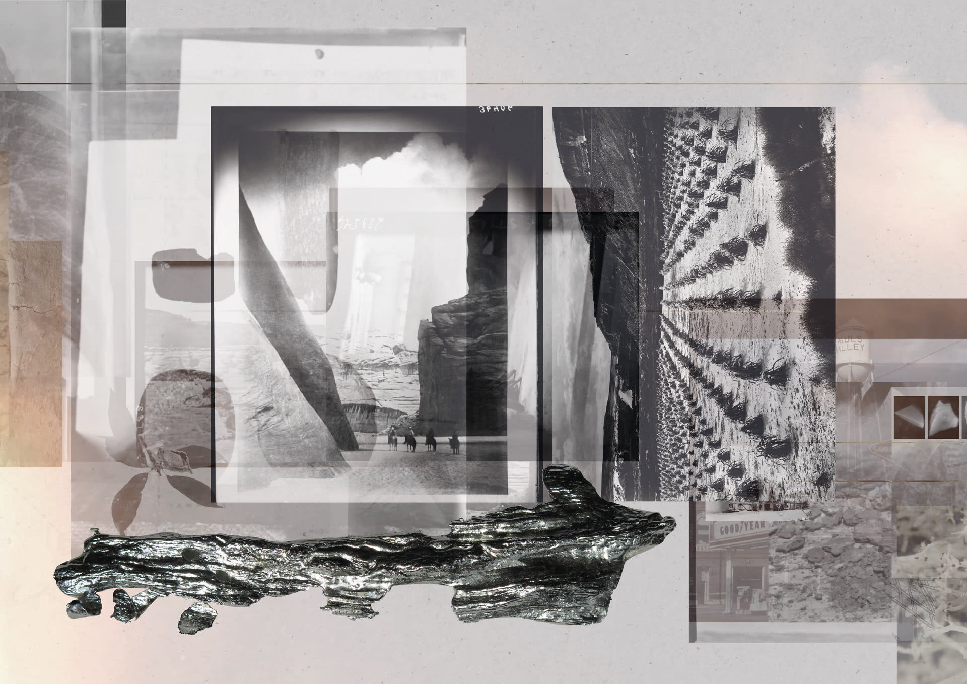
The Petrified River Between the Eastern and Western Río Puerco watersheds, lies the ‘Petrified River.’ A geologic strata of alluvial sediments and volcanic debris, bearing ‘leetso’ or yellow dirt that would come to define the Grants mineral belt. Crystallising solutions of uranium primed for extractive predation and landscape exhaustion within the depths of federally defined yellowcake territory, so called after the batter-like consistency of enriched uranium.
Artificial Aquifer, Manufactured Mesa
Artificial Aquifer, Manufactured MesaUnearthed, these terrestrial masses, decay with futurity. A disseminated ore body presenting an active chain of radiant short-lived nuclides, emitting Radon gas as Radon Daughters process through slow-violent half-lives over 704 million years, to stabilise as lead. Leaking away from itself, a raised earth condition of accumulative radioactive burden, a frayed coherence of contaminant, time, material.
An Image of Aridity
An Image of AridityAlluvial sediments and volcanic mineralisation also contribute to enhanced soil fertility and agrarian productivity, marking an imaged dichotomy of settler conceptions of the territory, of agrarian fertility, productivity and worth, and of the indigenous communities anchored to it; peoples who continue to refer to themselves as Diné, or ‘Earth Surface People’. Re-imaging landscape toward the ‘frontier’ imaginary of arid, desert, deserted, infertile and ‘barren’ soils.
The Checkerboard
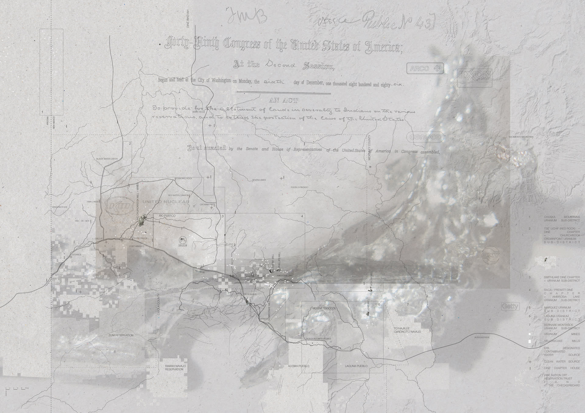
The CheckerboardThe General Allotment Act of 1887 – 1934 dissolved the South Eastern Boundary of Diné communal landholdings into a federally subdivided grid of proprietary ownership, between the federal government, the state of New Mexico, private and corporate ownership, and Native land allotments. Producing a ‘fiction of resolution,’ in which gridded enclosures homogenise landscape following federal aims of legibility, extraction and land productivity. Inscribed into land surface and ecology, enclosed from the common.
A Dissolved Boundary
A Dissolved BoundaryWithin a gridded terrain that facilitated the commoditisation of land as much as the enclosure of trespass within it, the anachronistic space of the southwestern ‘frontier’ was renewed through the futurity of nuclearism, and the mining of uranium. Engendering a yellowcake boom and the proliferation of mines and mills within enclosed parcels of federal and private land ownership, penetrating the petrified river of Grants uranium belt that sits within the bounds of Mount Tsoodzil.
A ‘Lapse’ in the National Historical Memory
A ‘Lapse’ in the National Historical MemoryThe largest radioactive spill in US history, what activist in allyship at the Multicultural Alliance for a Safe Environment Thomas Dupree has described as a ‘lapse’ in the national historical memory, perpetuating injustice, has undermined the landscape and water sovereignty of the Red Water Pond Road Community for over 50 years.
Kinłitsosinil, Churchrock
Kinłitsosinil, ChurchrockThe Environmental Protection Agency has had the site listed under superfund status since initial remediation works began to address ground water toxicity in September of 1988. However, a full scale proposition for the scarification and removal of 1.4 million tons of mill and mine wastes by the Nuclear Regulatory Commission and EPA is only now in 2022 under licence review.
Propagating Dew
Propagating DewThe proposal acts toward the reclamation, rematriation and regrowth of soils post-excavation, anticipated by the EPA to be completed in 2027, to support and engender the restorative justice of this landscape as both active resistance to its perpetual ruination by extractive industry, and as resilience - building lively ecologies of potential, care and futurity.
Architectures for Soil Moisture Augmentation
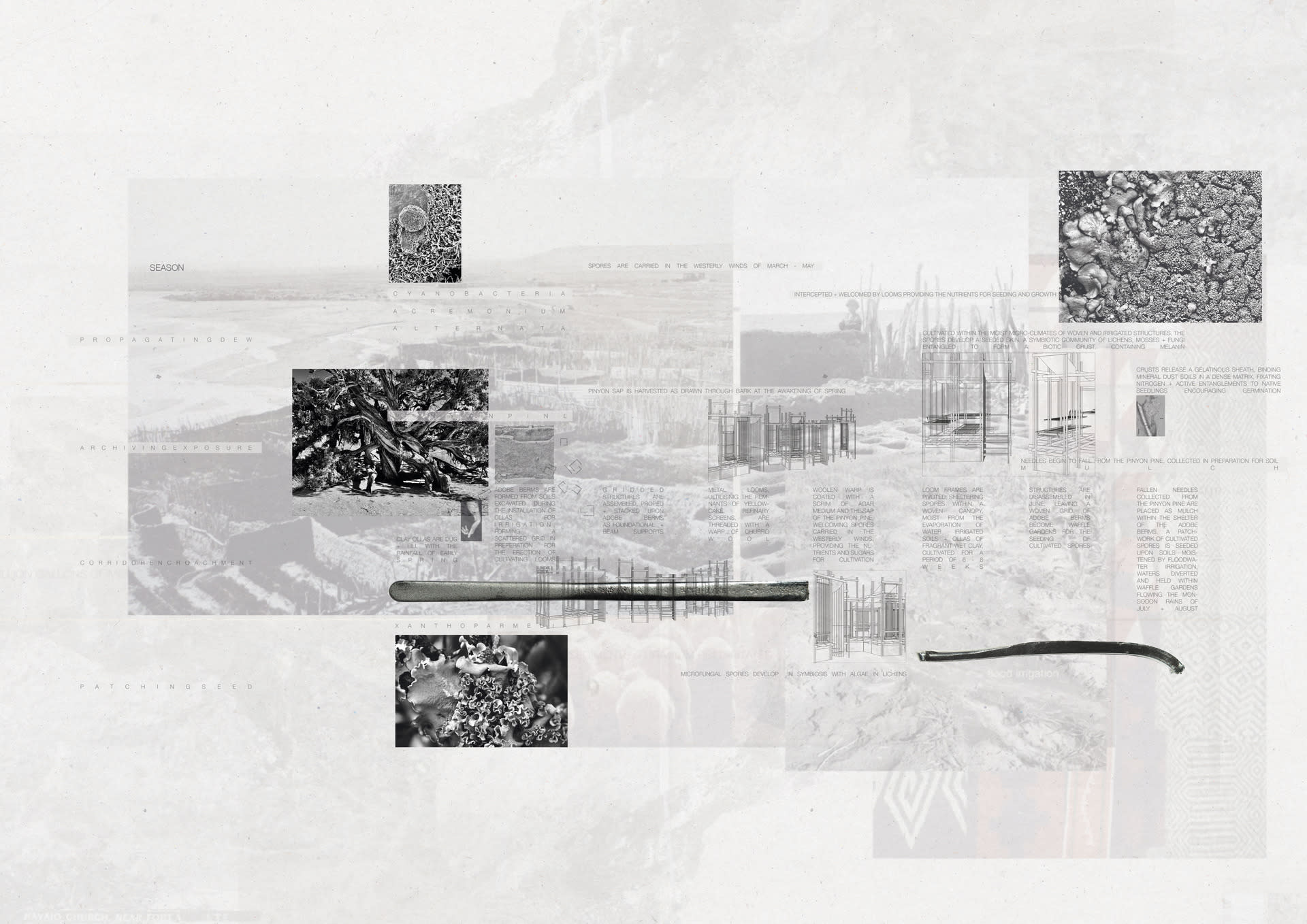
Architectures for Soil Moisture AugmentationAs drought heightens within the contemporary context of climate shift, cyanobacteria and free-living fungi spores take root from the atmosphere, creating conditions for the growth of cryptobiotic soil crusts, native to the Grants Mineral Belt region. A symbiotic community of lichens, mosses and fungi, containing melanin – developing a seeded skin to stabilise mineral dust soils, fixate nitrogen and generate active entanglements to native seedlings encouraging germination.
Archiving Exposure
Archiving ExposureSubverting geobotanical uranium prospecting practices active onsite during the 1950s, the fruiting bodies of lichen and bark exfoliated from the seedlings of the juniper and pinyon pine are collected as archive and as natural proxy. Bioaccumulating uranium precipitates and radionuclides as objects of dispute, become an active continuous monitoring practice for the community against the politics of baselining.

Burberry Design Scholar